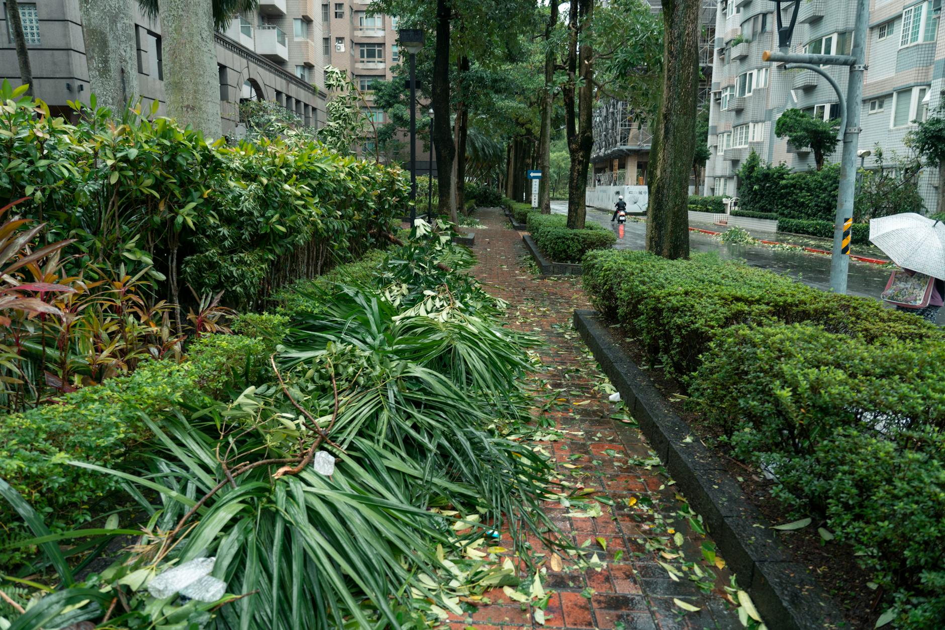
Super typhoon Sinlaku, a powerful Category 4 storm, has struck the Northern Mariana Islands, according to reports from expansion.mx.
The Japan Meteorological Agency, the official body responsible for monitoring typhoons in the Northwest Pacific, estimated the storm's central pressure at 920 millibars during the impact.
While the storm remains extremely dangerous, an eyewall replacement cycle that began Monday helped reduce its intensity. The system weakened from a Category 5 monster with 280 km/h winds on Monday morning to a Category 4 storm with 230 km/h winds by Tuesday morning, expansion.mx reported.
This drop in wind speed could significantly alter the storm's impact. According to a damage table from the U.S. National Oceanic and Atmospheric Administration (NOAA), damage increases exponentially with wind speed, meaning this weakening theoretically reduced potential destruction by a factor of four.
Despite this reduction, officials expect severe damage across both islands.
Rising frequency of intense storms
Recent years have seen a surge in high-intensity weather events hitting U.S. territories. Since 2017, ten hurricanes of Category 4 and 5 strength have struck U.S. regions, including seven on the mainland and one in Puerto Rico. The Northern Mariana Islands have now been hit by two such storms.
Data from Yale Climate Connections indicates this recent frequency is equivalent to the total number of Category 4 and 5 hurricanes that made landfall in the United States between 1960 and 2016.
Sinlaku is part of a broader pattern of early-season super typhoons. Over the 79-year monitoring period by the Joint Typhoon Warning Center, there have been 317 super typhoons, averaging about four per year. These storms are defined by maximum sustained 1-minute winds of at least 240 km/h.
Meteorologists suggest that Sinlaku's early-season strength is linked to broader ocean and atmospheric conditions. The storm's development aligns with a transition toward a strong El Niño event, which typically increases typhoon activity.